It had been a long time, possibly over a year, since Elizabeth and I had a Friday to take off on the bike and enjoy the roads, sights of Georgia and each others company.

The initial leg was about 80 miles on back roads. The GPS, also known as the sticky note on the windshield, got us there without any problems. It was a little cool on the way up but we knew it would be heating very soon.

Sweetwater Creek boasted a visitor center that is one of the greenest buildings in Georgia. They have composting toilets, recycled rain water, photovoltaic panels, a vegetated roof and other elements of conservation. The bathrooms may not smell the freshest, but it is worth the effort being put forth.

We had been here before with the family and took the trail by the mill that was burnt down during the Civil War, so we decided to take the bridge over the water to explore the other trail.

After finding the bridge out, we decided to retrace the path that we had previous visited last fall; when it was a lot colder and a lot less green.

One of the nice things about our Fridays is that most people are working or in school, so we have an opportunity to visit many of these parks with few other visitors. We saw a few joggers but that was about it.

This is the ruins of the New Manchester Manufacturing Company. It was a mill that produced cotton prior to being burnt down during the Civil War.

Beyond the mill is a walkway that takes you down to the creek where you can walk along the water.

My attempt at taking our picture on a rock in the creek.

The creek without our mugs

After out hike, we ate lunch and hit the road. The drive back was much warmer and I ended up losing my sticky note on turn, which placed Elizabeth back in the role of navigator. We broke up the ride back with a stop in Newnan for coffee at Barnes & Noble.

After our coffee, we drove down to Great South Harley and were greeted at the door by C.G. I hadn't been there in about a year so it was nice to look around again. They had a bike on display that had 16" ape bars that I was able to sit on and see how they felt. I got a silly grin on my face that let everyone know what my bike was going to look like in the not too distant future.
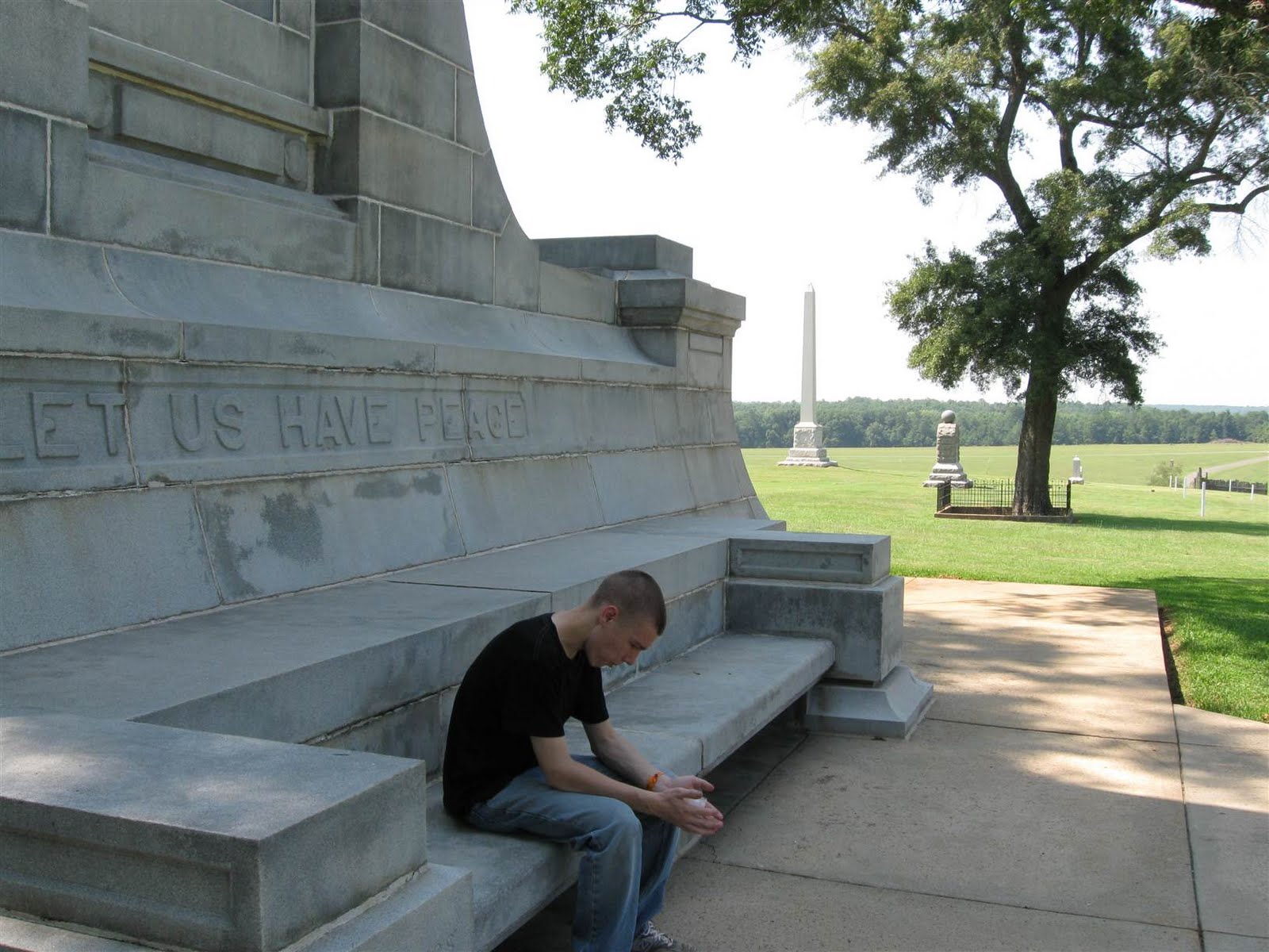
This shot has been edited upon request

We were about 20 miles from home when we noticed the dark foreboding sky ahead, which was accompanied by flashes of light, heavy gusts of wind and some rumbling. We drove through some sprinkled that quickly turned into a downpour. I slowed way down, stayed upright and focused on the road ahead of me. I don't believe the taxi in front of us could see very well because it kept crossing over the lines on the road - first one side and then the other. We pulled over so I could empty my pockets and then road on. The ride was cold but enlivening - I do like riding through a storm (I might feel differently if this happened in the beginning). Once home, we changed, got a mug of tea and curled up on the couch to wait for the kids to come home.